Partnering for Protection in Francestown
The Piscataquog Land Conservancy has a long history of protecting land in Francestown, which is located in the western reaches of the Pistcatquog River watershed. PLC completed its first conservation project in the town in 1986, and today owns or holds easements on fourteen properties that comprise almost 900 acres of land. About half of all this acreage has been protected by PLC in partnership with the Francestown Land Trust (FLT), an all-volunteer land trust focused solely on protecting land in the town. Of the seven projects we have worked on together to date, two were conservation easements on lands acquired and now owned by FLT, the other five are executory (or “back up”) interests in easements held by FLT. The groups are currently working on two new land conservation projects that continue our long-standing and fruitful partnership.
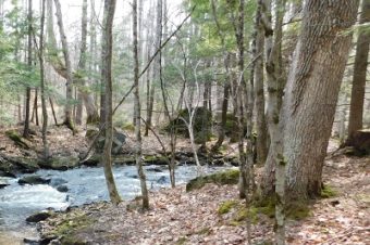
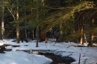
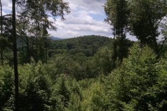
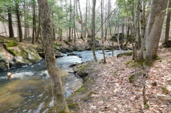
The first is the Rand Brook Floodplain project, which will convey a conservation easement to PLC on 41 acres owned by the Francestown Land Trust along Russell Station and Woodward Hill Roads. As its name suggests, the property contains 1,700 feet of streambank along Rand Brook, as well as 1,000 feet of frontage on the South Branch of the Piscataquog River. The land features a fifteen-acre wetland complex, and forest consisting primarily of hemlock-hardwood-pine, a small amount of Appalachian oak-pine, and red maple floodplain forest. The property gently slopes from 600 feet in elevation along the Piscataquog River in the eastern portion of the parcel up to 680 feet at its western boundary. Like many PLC projects, the Rand Brook floodplain project is a key piece in a much larger conservation puzzle. The property directly abuts three other PLC-protected properties: the 17-acre Calcutt Conservation Easement; the 53-acre Stewart Property (PLC executory Interest), and the 121-acre Rose Mountain Foothills Preserve. These in turn connect to other lands protected by the two organizations and the town. The Rand Brook Floodplain easement is expected to be completed this fall.
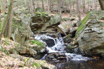
The other project currently being developed by PLC and FLT is the 42-acre Brennan-South Branch Piscataquog Confluence project, which is located just north of the Rand Brook Floodplain property. The project involves the purchase by FLT of a 7.5-acre tract bounded by Clarkville Road and the 2nd New Hampshire Turnpike, with FLT conveying a conservation easement on the property to the PLC. The project also includes the donation of conservation easements to FLT on two more nearby properties that total 35 acres. The project will protect 2,155 feet river and stream frontage on South Branch Piscataquog River and an unnamed tributary. The project will also protect habitat that ranks high in the state’s Wildlife Action Plan. Like the Rand Brook floodplain lands, the parcels are critical pieces in the larger mosaic of conserved land in the area.
Rand Brook - Francestown, NH